The New Far West and The Old Far East – Being Notes of a Tour in North America, Japan, China, Ceylon, Etc. With Maps and Illustrations. [Including an Appendix on the Supplementary Treaty of Commerce between the United States and Japan].
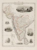
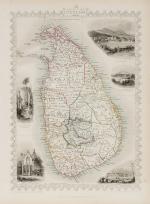
London, Edward Stanford, 1889. Quarto. Frontispiece, X, 316 pages with three large fold-out-maps in colour and eight illustrations in black-and-white. Hardcover / Stunning 19th century prize-binding in beautiful full tan calf bearing the Arms of Monmouth Grammar School [with their Motto “Serve and Obey”]. Inscription and embossed stamp of Monmouth – Grammar School to endpaper. Dedicated by Headmaster C.M.Roberts to former pupil W.A.Lamb in July 1890. Excellent condition with only minor signs of wear.
EUR 480,--