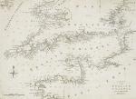
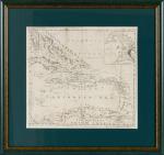
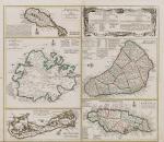
Chart of the English Channel from the latest and best authorities. [With Cornwall, St.Georges Channel / Wexford Haven / Bretagne / Normandie / Straits of Dover / German Ocean]
Original copper engraved Map / Copper engraving. [London], [Political Magazine / John Bew], c.1780. 38 cm wide x 27.8 cm high. Mounted on paper. Very good condition with only the faintest signs of browning. From a wonderful collection of Maps from an old english library (South Shields) – with tiny library stamps to the mounting paper (The stamps are NOT on the maps).
EUR 280,--


