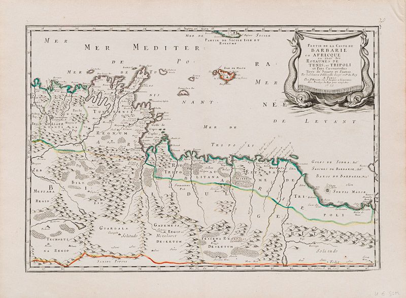
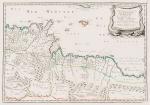
Sanson d'Abbeville, Partie de la Coste de Barbarie en Africque, ou sont le royau
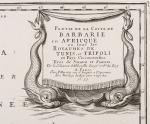
Partie de la Coste de Barbarie en Africque, ou sont le Royaumes de Tunis, et Tripoli et Pays Circomvoisins Tires de Sanuto et d’autres.
Original hand-coloured engraving. Paris, Chez P. Mariette, 1655. Plate Size: 53.2 cm x 36.7 cm. Sheet Size: 61.3 cm x 45.7 cm. Original map. In very good condition with only the faintest traces of browning outer margins. Minor tear to margins along centre fold. Discreet inked numeration in top right corner of sheet.
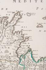
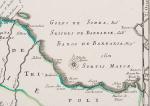
A richly detailed map showing the North African Barbary coast, from the kingdom of Algeria in the west, across Tunisia, to Tripoli and the Gulf of Sidra in what is now Libya in the east. The southern part of Sicily and Malta are included in the map. Coastal cities such as Tunis and Tripoli can be seen. The region is delineated into historical and political portions, each with Latin/Roman nomenclature: regions such as Gademesa Regio; Techorti na Regio; Regn D’Algertanti; Roy Tripolitana; Biledul; and Fessena Regio Desertum. Relief depicted pictorially and the map-maker’s ability to conjure an impression of the region’s ruggedness and aridness occasionally interrupted with verdant oases is evident. Even the lonely desert wilderness sound appealing with names such as ‘Solitudo Tidit’ and ‘Solitudo Metalavet’.
The decorative title cartouche in the lower left corner of the map is accompanied by two sea-creatures.
Nicolas Sanson (20 December 1600 – 7 July 1667) was a French cartographer, termed by some the creator of French geography, in which he’s been called the “father of French cartography.” The French school of Geography was unprecedented in its attention to precision and scientific detail and discarded much of the decorative embellishments of previous maps as irrelevant. From Sanson’s time in the second half of the seventeenth century until the latter part of the eighteenth century, French geographical conceptions were more influential than those put forward by any other nation. He was tutor to Louis XIII and Louis XIV. Sanson published over 300 maps. In 1692 Hubert Jaillot collected Sanson’s maps in an Atlas nouveau. (Wikipedia)
- Keywords: 17th Century · Africa · Africa, North · Barbary · Cartography · Catalogue No.5 – Maps of the World · French · Library & Collection Building · Libya · Map · Map, African · Mediterranean · Middle East · North Africa · Original Engraving · Original Map · Original Maps · Rare Map – Tunisia · Rare Map Africa · Rare Maps Collection – Africa · Tunisia · Vintage Map
- Inventory Number: 200046AG
© 2025 Inanna Rare Books Ltd. | Powered by HESCOM-Software


