


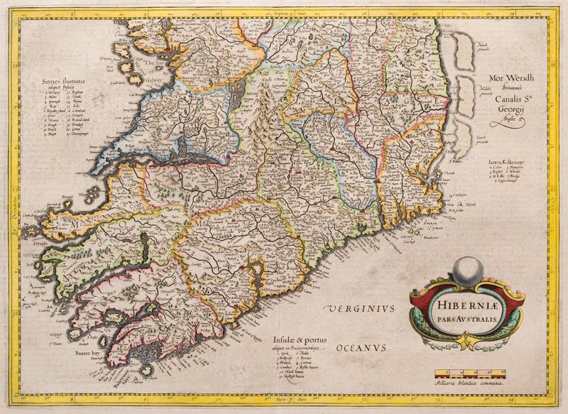
Hondius the Elder, Hibernia Pars Australis [The rare southern half of Hondius' M
Hibernia Pars Australis [The rare southern half of Hondius’ Map of Ireland / Hand-colored in the 17th century by counties. Latin Text verso].
Original Copper Engraving. Amsterdam, 1630. Actual Map size: 18.5 x 13.5 inches (c. 47 cm x 33,5 cm). Actual Sheet size: 23 inches x 17 inches (c. 58 cm x c. 43 cm). Excellent condition.
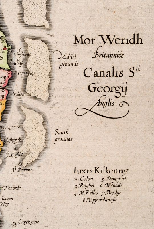
This rare, early 17th century, hand-colored Map of Munster, West Cork and Kerry shows for example: (Carbery as “Carbre”)/ Kerry as “Kyry” / Mizen Head as “Myssyn Head” / Bantry as “Bantre Bay” / Fastnet Lighthouse Rock as “Fasteney” / Kilcoe as “Kylgoe” / Crookhaven as “Croke” / Glandore as “Glandorse” / Kilbrittain as “Kylbreton” / Old Head of Kynsale / Limerick as “Lymerick” / Clare with Galway Bay / Rosscarbery as “Roß” / Drimoleague as “Drenmalyn” etc. – Latin Text verso.
- Keywords: 17.Jahrhundert · 17th Century · Baltimore · Cartography · Catalogue Five – Maps of the World · Cork · Irish Map · Irish Maps · Kartographie · Kinsale · Map · Maps · New Arrivals · Original Engraving · Original Map · Travel Ireland – Rare · West Cork
- Inventory Number: 100132AG
EUR 1.400,--
We ship per DHL Express


Contact
Inanna Rare Books Ltd.
Woodley House
Castletownshend Road
P81 D262 Skibbereen, County Cork
Ireland
Phone: ++353 - (0) 87 - 102 5412
E-Mail: info@inannararebooks.com
Internet: https://www.inannararebooks.com
Online Bookshop specialized in rare
and secondhand books.
Newsletter and E-Catalogue Sign Up
Payment Options


© 2025 Inanna Rare Books Ltd. | Powered by HESCOM-Software

