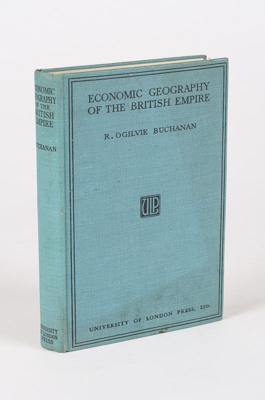
Buchanan, An Economic Geography of the British Empire.
An Economic Geography of the British Empire. With Forty-Nine Diagrams and Maps and Sixteen Numbered Plates in Half-Tone Printed in the Text.
London, University of London Press, 1935. 15 cm x 21.5 cm. X, 346 pages. Hardcover [publisher’s original turquoise cloth] with lettering on spine and bordered front board. Very good condition with only minor signs of external wear and soiling. Binding firm and strong but slightly cocked. Textblock solid with sharp corners. Interior bright and clean. Bookseller’s label on front pastedown.
Includes, for example, the following: General Considerations – Cimate -The Empire in General – Imperial Communications / The Countries of the British Empire -The British Isles – Canada – Remaining British American Possessions – Union of South Africa – Souther Rhodesia, Northern Rhodesia and Nyasaland – British East Africa – Anglo-Egyptian Sudan, British Somaliland and British African Islands – British West Africa – British Possessions on the Suez Route to India – India – Other British Possessions in Asia – Australia – New Zealand – Other British Possessions in the South Pacific.
An monograph focusing on the varying economic aspects of the globe spanning British Empire across its varying climatic zones and geographic locations.
Robert Ogilvie Buchanan (1894-1980) was one of the founders of the Institute of British Geographers. He held a Chair of Geography at L.S.E. (Transactions of the Institute of British Geographers Vol. 8, No. 1, pp. 112-114 )
- Keywords: 1930s · Africa, British East · British · British Colonial Administration · British Colonial History · British East Africa · British Empire · British Industrial History · British Isles · Colonial History – Rare · Economic aspects · Economic conditions · Economic Development · Economics · Economics – Rare · English History – Rare · English Industrial History · Geo-Politics · Geographers · Geography · monograph
- Language: English
- Inventory Number: 120246AB
EUR 58,--
© 2026 Inanna Rare Books Ltd. | Powered by HESCOM-Software


