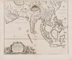
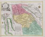
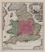
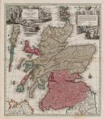
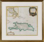
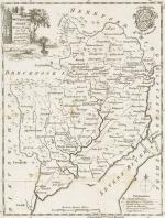
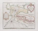
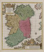
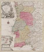
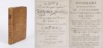
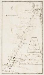
[Bellin, Jacques Nicholas / Senex, John / Ogilby, John]
The Roads through England or Ogilby’s Survey. Revised, improved and reduced by Senex. [Enlarged Edition of John Ogilby’s 1675 published “Britannia”] Distinctly laid down on onehundred & one Plates with the addition of some Roads newly drawn and several corrections of more general use to Travellers. [Including an Appendix with Cityplans of London (double-page), Plymouth, Shrewsbury, Yorck (York), Chester, [Scene of Carrick-Fergus (Ireland)], Waterford, Oxford, Leith [Edinburgh], Harwich, Scenery of Edinburgh / Itinéraire de toutes les routes de l ‘Angleterre. Revues corrigées, augmentées & réduites par Senex en 101 Cartes. [Titlepage bilingual in french and english].
Paris, Desnos, 1766. Quarto (30 cm x 22.5 cm). Collation complete: Bilingual titlepage, 12 double-page maps of England, partly beautifully border-coloured, 6 unnumbered pages of Index with distances in miles, one (1) General Map of England (″Carte Generale” of Engand by D’Ogilby), 101 full-page maps of routes/streets, Engraved titlepage for the Appendix, One (1) double-page of explanations for the London-City-Plan, 17 beautiful maps and engravings of a variety of english cities, also with a section on Ireland (Dublin, Waterford, Kinsale, Galway, Limerick). Original 18th-century contemporary calf with gilt lettering on spine and on five raised bands. The Volume is now protected in Collector’s Mylar. Very good+ condition with only minor signs of external wear. Some rubbing and corners slightly bumped but overall excellent. Interior near fine with only the slightest occasional spotting. Rare and even rarer in this condition !


![Fer, Grande Tartarie [Central Asia] with Cazan [Kazan] , Turquestan](/images/thumbnails/398AG.jpg)

![Christoph Weigel - Insulae Britannicae Antiquae [with Ireland and Scotland] ex collatione veterum Geographorum](/images/thumbnails/100077AG.jpg)


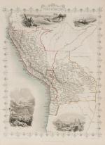
![Tallis, Venezuela, New Granada, Equador [Ecuador] and the Guayanas](/images/thumbnails/2008AG.jpg)
![Tallis, United States [of America]](/images/thumbnails/2012AG.jpg)

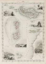


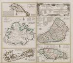
![Tallis, Channel Islands [Guernsey and Jersey]](/images/thumbnails/200116AG.jpg)


